Americas · Caribbean
Caribbean Netherlands
Bonaire, Sint Eustatius and Saba
Capital
Kralendijk
Population
31,913
2026 estimate
Area
328 km²
Code
BES
Languages
English, Dutch, Papiamento
Currencies
United States dollar ($)
Did you know?
- 🌊Three special municipalities of the Netherlands located in the Caribbean Sea, collectively known as the 'BES islands' — Bonaire, Sint Eustatius, and Saba.
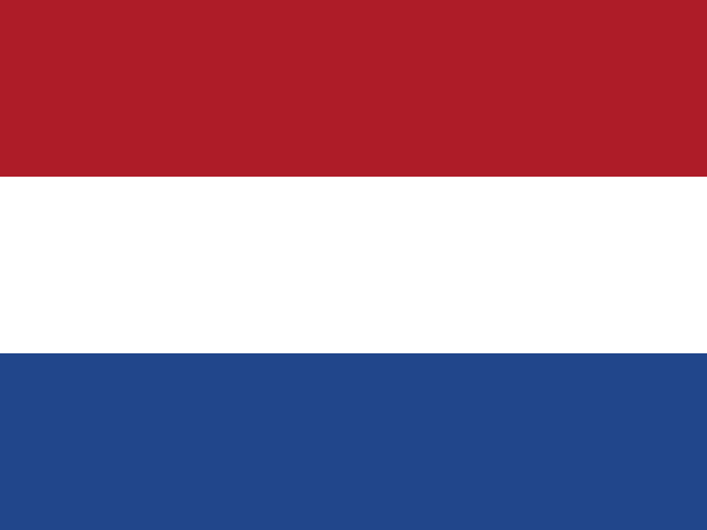
- 🏳️What does its flag mean? As special municipalities of the Netherlands, the official national flag is that of the Netherlands, but each island has its own official flag. Bonaire's flag features a yellow upper triangle (sun and nature), a blue lower triangle (sea), a white diagonal band (peace), and a red 6-pointed star inside a black compass wheel representing the island's 6 original settlements.
- 🤿Diver's paradise: Bonaire's entire surrounding coastline is designated a protected marine park, allowing divers to wade directly into world-class coral reefs right from the shore.
- ⛰️Highest point in the Netherlands: Mount Scenery on the island of Saba (887 meters / 2,910 ft) is officially the highest point in the entire Kingdom of the Netherlands.
- 🦩Flamingo haven: Bonaire is one of the few places in the world where Caribbean flamingos breed in massive wild colonies around its protected salt flats.
Location
12.18°, -68.25°
Actual size
Compared to Australia.
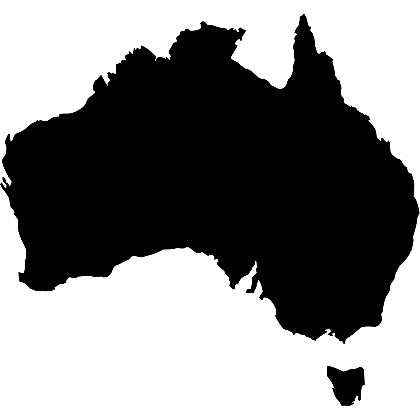
Australia · 7,692,024 km²
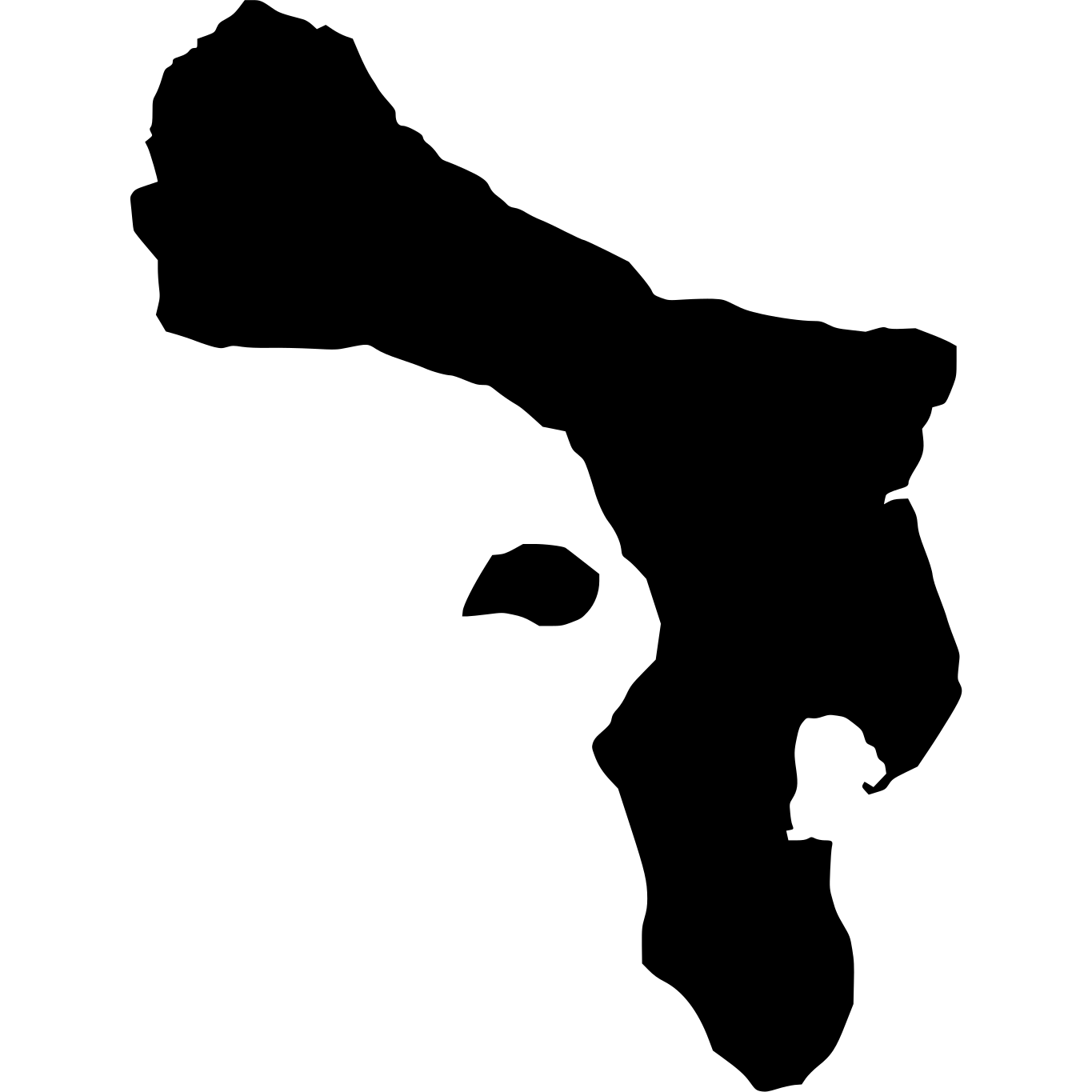
Caribbean Netherlands
328 km²
% of Australia
0.00%