Oceania · Australia and New Zealand
Christmas Island
Territory of Christmas Island
Capital
Flying Fish Cove
Population
1,692
2021 Census
Area
135 km²
Code
CXR
Languages
English
Currencies
Australian dollar ($)
Did you know?
- 🌳An external territory of Australia in the Indian Ocean, famous for its incredible biodiversity and unique rainforest ecosystem.
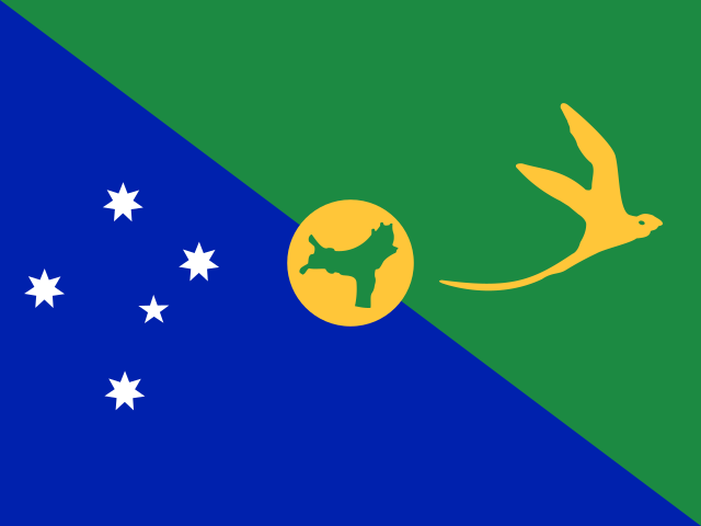
- 🏳️What does its flag mean? The flag blends a blue panel representing the ocean surrounding the island with a green panel symbolising the island's rich vegetation and tropical rainforests. A golden bosun bird (golden tropicbird) is depicted in flight in the green panel, representing a species endemic to the island and a symbol of its unique wildlife. The Southern Cross is placed in the blue panel, signifying its connection to Australia and position in the Southern Hemisphere. A central gold disc displays a green map of the island, symbolizing its geographical identity.
- 🦀The Great Red Crab Migration: Every year, tens of millions of bright red land crabs emerge from the forest simultaneously to migrate to the ocean to spawn, turning roads, bridges, and beaches into a sea of red.
- 🛣️Crab infrastructure: To protect migrating crabs from traffic, local authorities have built special crab grid crossings, fences, and even a dedicated 'crab bridge' over a busy road.
- 🎄Named on Christmas Day: The island was named on December 25, 1643, by Captain William Mynors of the Royal Mary, who sailed past it on Christmas Day.
Location
-10.50°, 105.67°
Actual size
Compared to Australia.
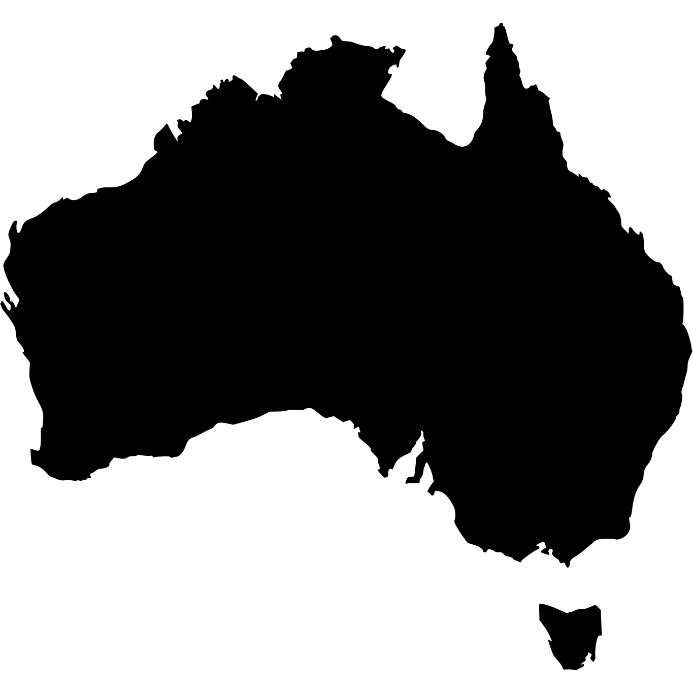
Australia · 7,692,024 km²
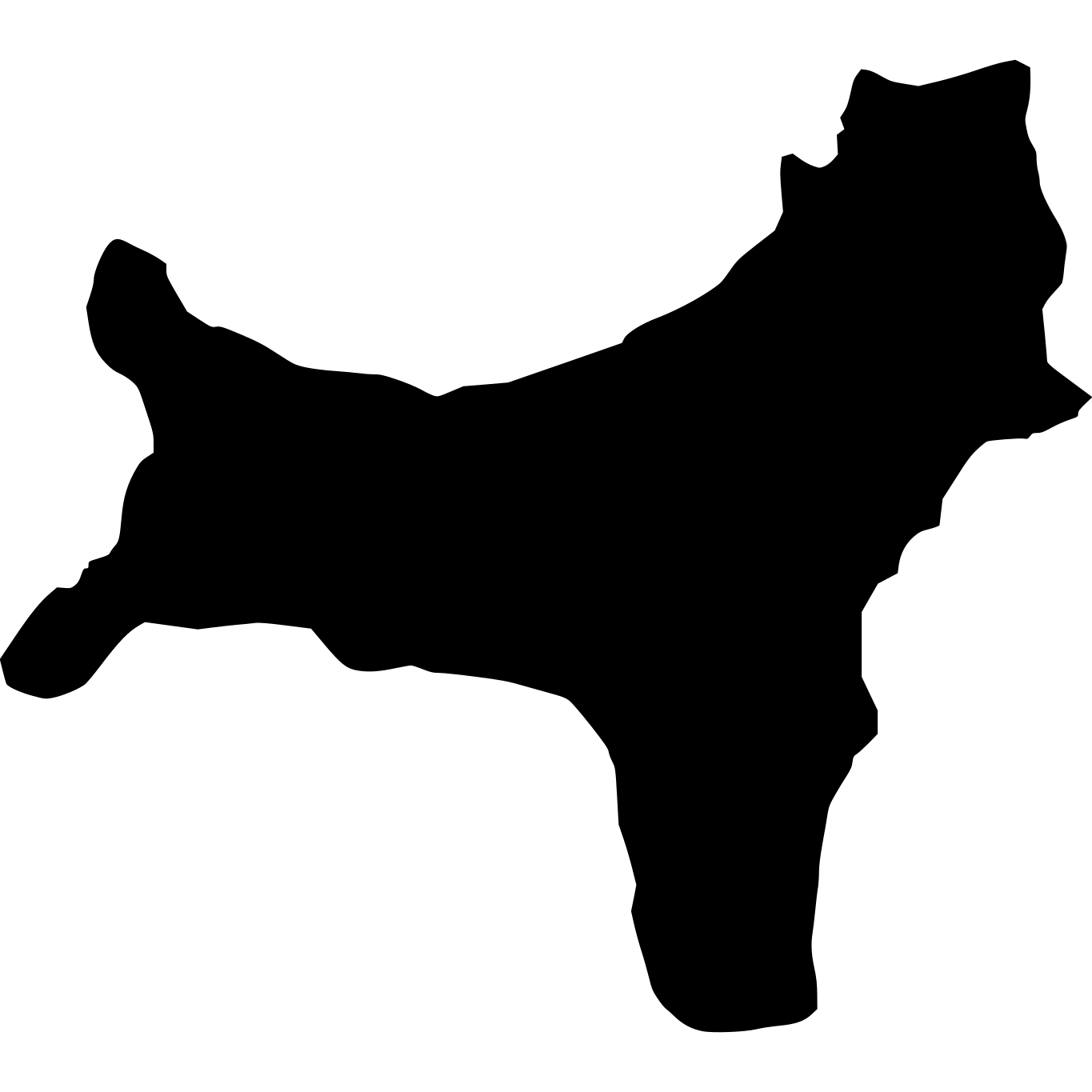
Christmas Island
135 km²
% of Australia
0.00%