Oceania · Micronesia
Kiribati
Independent and Sovereign Republic of Kiribati
Capital
South Tarawa
Population
138,445
2026 estimate
Area
811 km²
Code
KIR
Languages
English, Gilbertese
Currencies
Australian dollar ($), Kiribati dollar ($)
Did you know?
- 🏝A unique and astonishing island nation in Micronesia at the heart of the Pacific Ocean, made up of 32 low-lying coral atolls and one raised phosphate coral island (Banaba). Its land area is tiny, but its islands are scattered across a massive ocean expanse of 3.5 million km².
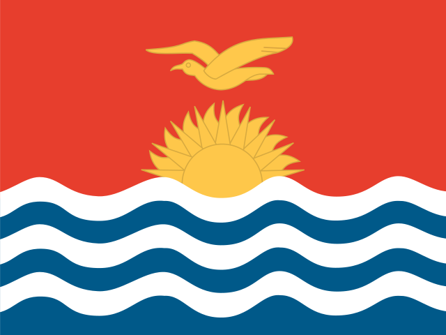
- 🏳️The flag was officially adopted in 1979, on the day Kiribati gained independence from the United Kingdom. It is a banner of arms based on the colonial coat of arms designed by British resident commissioner Sir Arthur Grimble in 1932. The upper red half represents the strength, courage and historical roots of the I-Kiribati people, as well as the bright equatorial sky. The golden frigatebird in flight — known locally as te eitei — symbolizes power, freedom, mastery over the ocean and traditional Gilbertese dances that mimic the outstretched wings and soaring of birds; historically it also stands for the navigational prowess of the islanders. The rising sun represents the tropical sun, the equatorial location of the country and the dawn of a new era of freedom, with its 17 rays signifying the 16 Gilbert Islands plus the island of Banaba. The blue and white wavy stripes depict the waves of the Pacific Ocean and the nation's oceanic isolation, and the three pairs of waves denote the three major island groups: the Gilbert, Phoenix and Line Islands.
- 🗣️A name pronounced differently — the name Kiribati is actually pronounced 'Kiribas'. In the local Gilbertese language the 'ti' combination is always pronounced as an 's' sound. Similarly, the world's largest coral atoll, Christmas Island, is spelled Kiritimati but pronounced 'Kiritimas'.
- 🧭Located in all four hemispheres — thanks to its vast dispersion across the Pacific, Kiribati is the only nation on Earth with territory spanning all four hemispheres (Northern, Southern, Eastern and Western). Its islands lie astride both the Equator and the 180th meridian.
- ⏰The first to welcome the New Year — the International Date Line once split the country in half, so the western Gilbert Islands were a full day ahead of the eastern Phoenix and Line Islands. To unify the nation's business days, the government moved the date line 1,000 km eastward on December 31, 1994. As a result, the island of Kiritimati became the first inhabited place on Earth to welcome the new day and ring in the New Year.
Location
1.42°, 173.00°
Actual size
Compared to Australia.
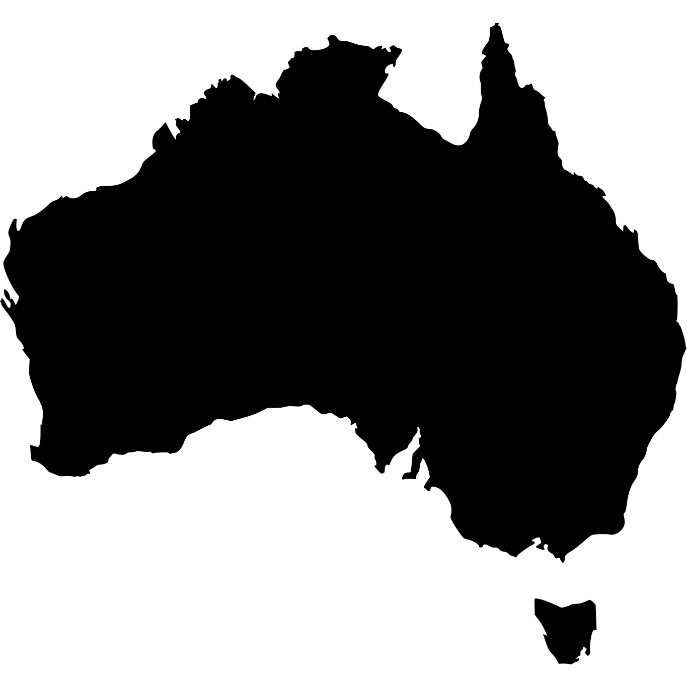
Australia · 7,692,024 km²

Kiribati
811 km²
% of Australia
0.01%