Africa · Middle Africa
São Tomé and Príncipe
Democratic Republic of São Tomé and Príncipe
Capital
São Tomé
Population
244,994
2026 estimate
Area
964 km²
Code
STP
Languages
Portuguese
Currencies
São Tomé and Príncipe dobra (Db)
Did you know?
- 🏝An island nation in the Gulf of Guinea off the western equatorial coast of Central Africa, consisting of two main islands.
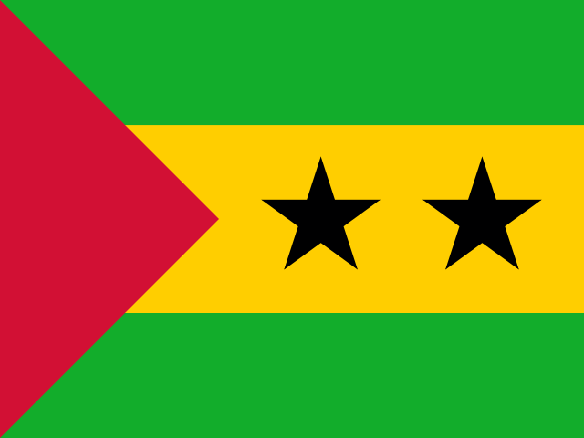
- 🏳️What does its flag mean? The green horizontal stripes symbolize the island's tropical vegetation and rainforests. The yellow central stripe represents the bright sunshine and cocoa/agricultural wealth. The red hoist triangle symbolizes the hard struggle for independence. Two black stars represent the two main islands that make up the republic (São Tomé and Príncipe).
- 🍫The Chocolate Islands: São Tomé and Príncipe was once known as the 'Chocolate Islands' because in the early 1900s it briefly became the world's largest producer of cocoa.
- 📍On the Equator and Meridian: The tiny islet of Ilhéu das Rolas, located just off São Tomé, lies directly on the Equator line, allowing visitors to walk across hemispheres.
- 🌴Obo National Park: Over 30% of the country is covered by Obo National Park, an eco-tourism haven preserving rare orchids, birds, and virgin rainforests.
Location
1.00°, 7.00°
Actual size
Compared to Australia.
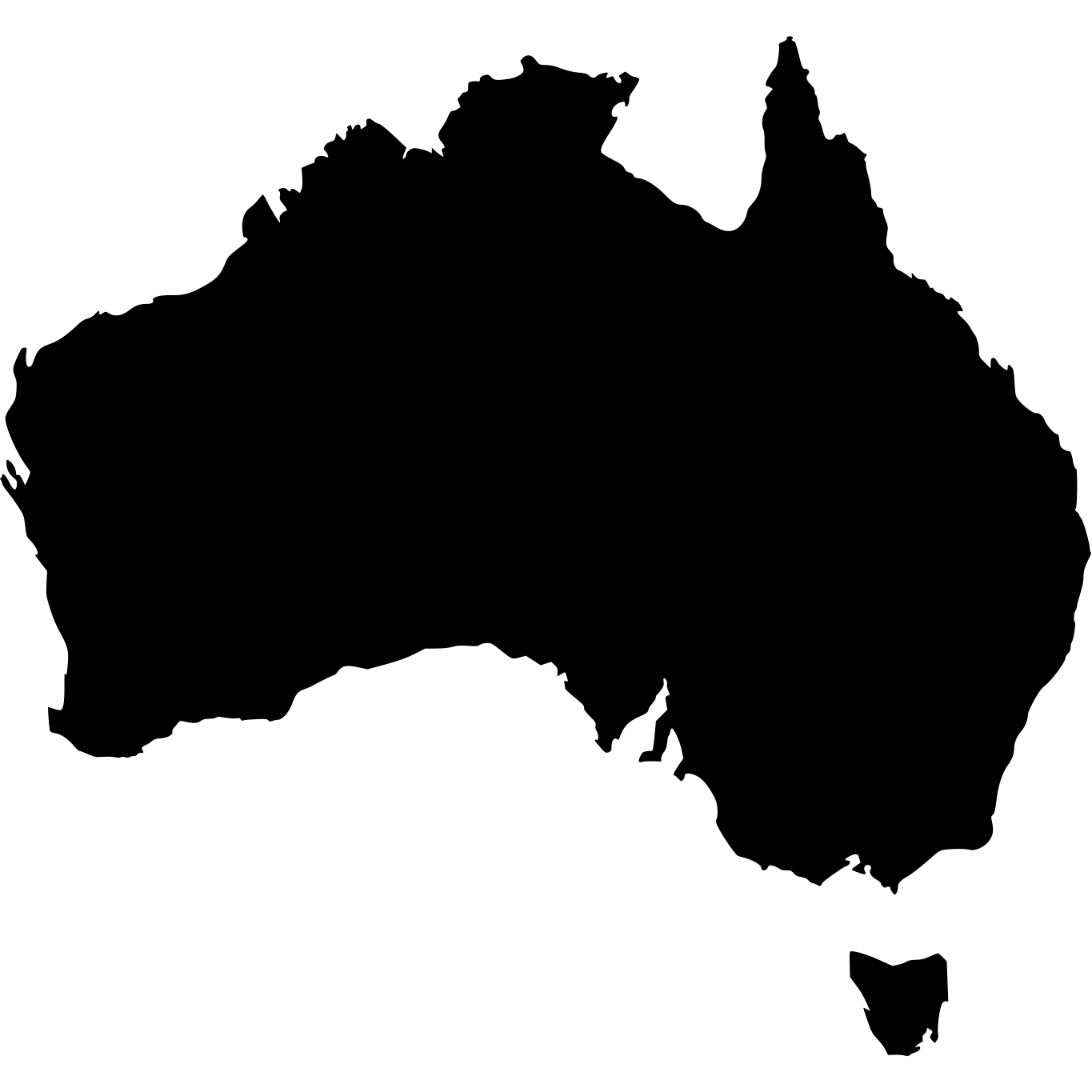
Australia · 7,692,024 km²
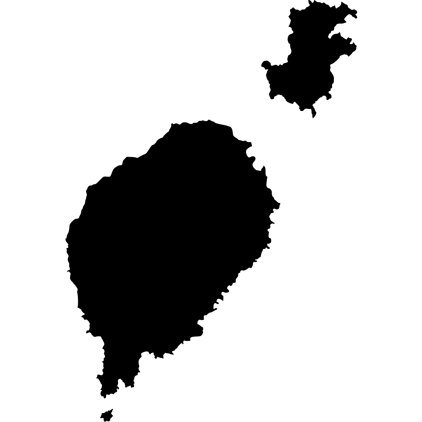
São Tomé and Príncipe
964 km²
% of Australia
0.01%