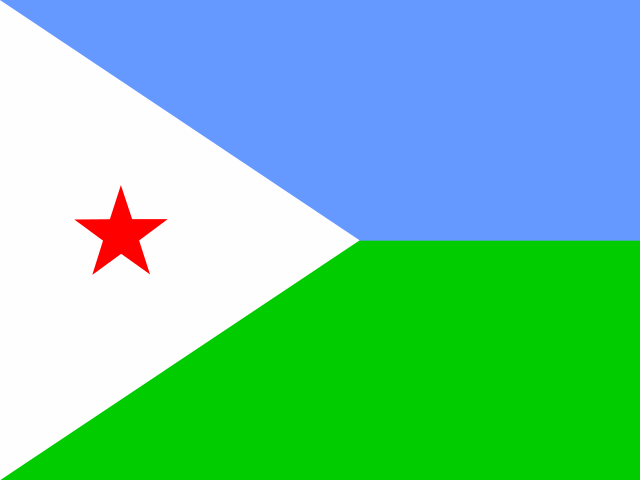
 Djibouti
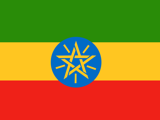 Ethiopia
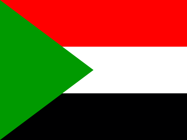 Sudan
SudanDid you know?
- 🌊A country in the Horn of Africa with a long Red Sea coastline, bordered by Sudan, Ethiopia, and Djibouti.
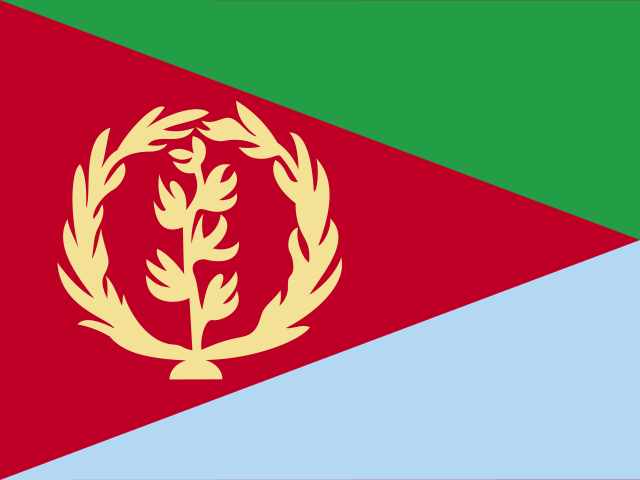
- 🏳️What does its flag mean? The green triangle represents agriculture, fertility, and the lush land. The blue triangle symbolizes the ocean, wealth of the Red Sea, and maritime resources. The red triangle represents the blood shed during the long struggle for independence. A gold olive wreath and branch features 30 olive leaves representing the 30 years spent fighting the war for independence.
- 🏛️Art Deco capital: The capital city, Asmara, is a UNESCO World Heritage site renowned for its preserved 1930s Italian Art Deco architecture and historic cinema theaters.
- 🚲Cycling obsession: Cycling is the nation's premier passion; introduced during Italian colonization, Eritrea produces some of Africa's top international professional cyclists.
- 🪸Dahlak Archipelago: The Red Sea waters off Eritrea feature the Dahlak Archipelago, an unspoiled group of over 100 islands surrounded by pristine coral reefs and historic pearl-diving beds.
Location
15.00°, 39.00°
Actual size
Compared to Australia.
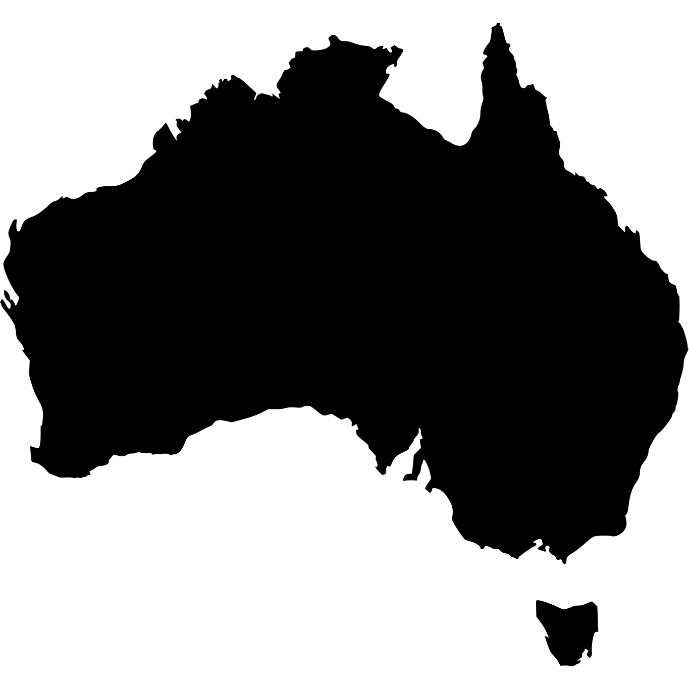
Australia · 7,692,024 km²
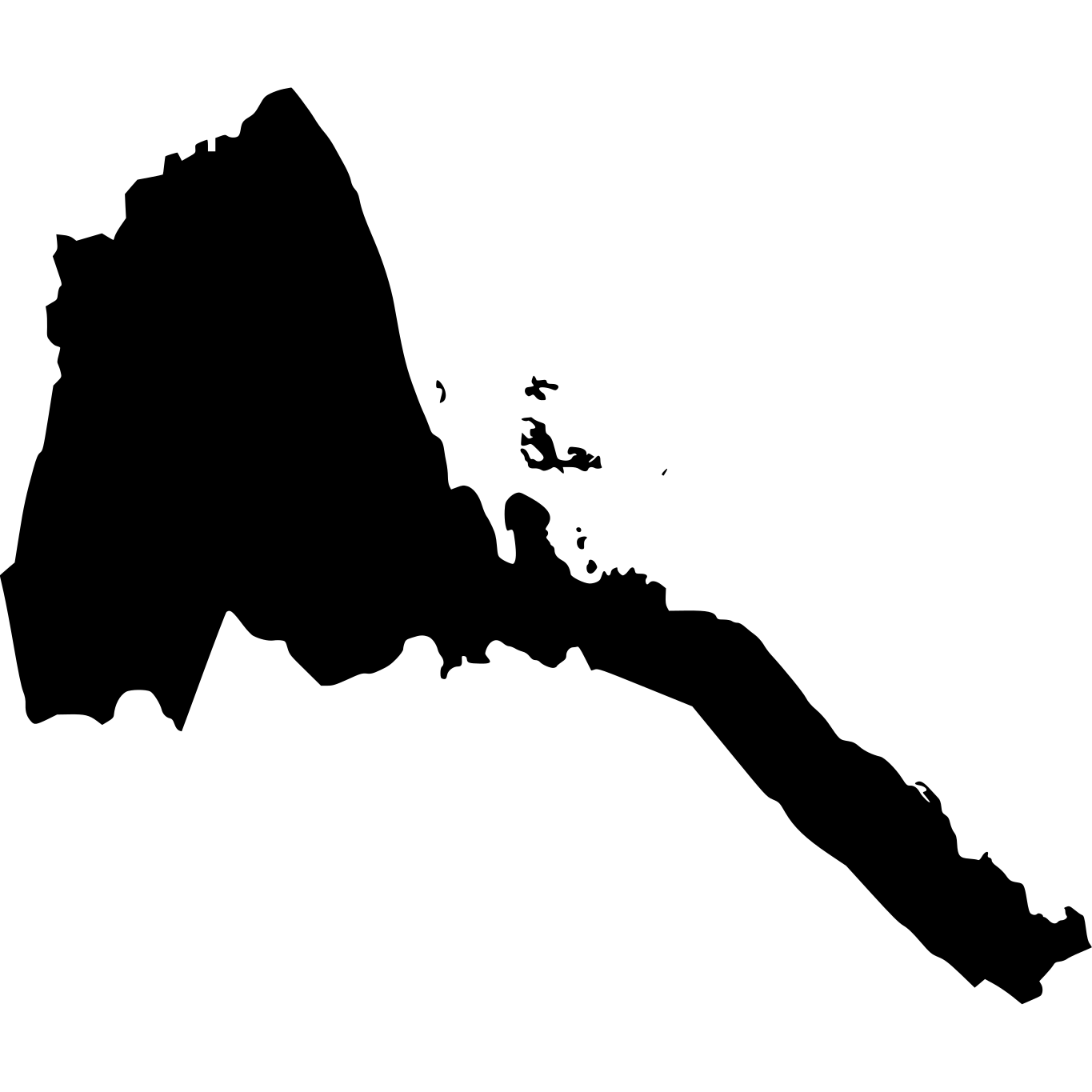
Eritrea
117,600 km²
% of Australia
1.53%